AP23489999 – Development of intelligent technology and digital platform for adaptive zoning of territories in conditions of climate dynamics
Objective of the project – Developing methods, models, algorithms, and a digital platform for analyzing greenhouse gas distribution and forming adaptive scenarios for optimal crop or carbon plant cultivation, considering carbon quotas and environmental impact, facilitates zoning territories sustainably.
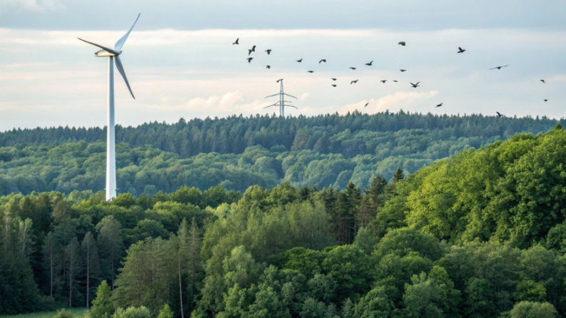
Relevance: The interdisciplinary project aims to create an intellectual tech and digital platform merging neuro-fuzzy modeling, 3D simulation, electronic mapping, and Blockchain. It supports science-backed decisions for adaptive zoning in shifting climates and objective biotechnosphere monitoring.
Scientific supervisor: Candidate of Physical and Mathematical Sciences, Associate Professor, Yagalieva Bagdat Yesenovna
Expected and achieved results: An analysis was conducted of over 100 recent scientific sources (2019–2023) on climate impact modeling and intelligent data analysis in the field of environmental and food security. A research strategy was formulated and a new scheme for adaptive agroecological zoning of territories was proposed. A system of principles and methods was developed using AI, GIS, 3D modeling, VR/AR, Big Data, Blockchain, and IoT to assess and forecast the impact of greenhouse gases and pollution. Methods and algorithms were created to determine optimal parameters for growing crops and carbon farms, and a method for carbon quotas based on Blockchain was proposed. A database of 592 3D models of crops was created, and an electronic atlas was developed for the spatiotemporal analysis of anthropogenic impacts. GIS layers and air pollution maps (CO, NOx, SO₂, hydrocarbons) have been created, revealing that maximum permissible concentrations (MPCs) are exceeded across more than 35% of the territory, and under unfavorable conditions—up to 80%. An electronic atlas for agroecological zoning was developed using neural network, clustering models, and fuzzy logic (FuzzyNet). Simulation experiments were conducted to determine optimal crops, fertilizer parameters, and territories, taking CO₂ concentration into account. A method and algorithm for generating adaptive zoning scenarios were developed and integrated into a digital platform using data factories and models. Functions for forecasting, productivity assessment, and modeling crop growth under climate change conditions have been implemented. The work has been completed, and an interim report has been prepared with an analysis of the results, identified problems, and further research tasks.
List of publications with links to them
- Иващук О.А., Гончаров Д.В., Кази А.К., Ягалиева Е.Б. Методы и модели интеллектуальной оценки территорий в условиях динамики климатических условий // Издательский дом «Академия Естествознания». – 2025. – № 9. – С. 71–77. – DOI: https://doi.org/10.17513/snt.40488.
- Ягалиева Б.Е., Иващук О.А., Байболатов Е.М., Гончаров Д.В., Атымтаева Л.Б., Оган А. Программа для оценки продуктивности сельскохозяйственных территорий в условиях динамики парникового эффекта: свидетельство о внесении в государственный реестр прав на объекты, охраняемые авторским правом № 63586 от 30.10.2025. – Казахстан, 2025.