Scientific phase completed (2024–2025)
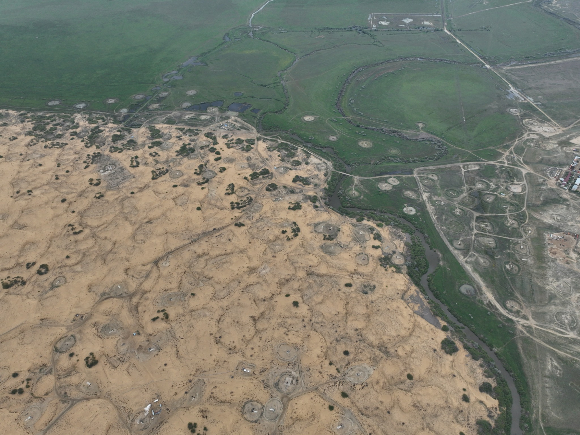
Kokzhide: systematic monitoring
of geoecological environment
Hydrogeological research as a foundation for sustainable development and water security in Western Kazakhstan.
Period
2024–2025
Status
Research
Focus
GIS Development
Next Step
2026–2028